Flood forecasting and early warning system for Kolhapur
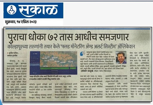
Frequent Panchganga basin flooding gave authorities too little lead time to respond. An AI system combining IoT, weather, and river data now forecasts floods 24–72 hours ahead with automated multi-agency alerts.
Problem Statement
Rising river levels, dam releases in the Panchganga river basin, and heavy monsoon rainfall cause frequent flooding in Kolhapur and Ichalkaranji. Conventional flood monitoring techniques frequently have a short lead time, which makes emergency response and evacuation difficult. An intelligent, real-time flood forecasting and early warning system is essential since delayed alerts can cause fatalities, damage to homes, agricultural land, businesses, livestock, and vital infrastructure.
Solution
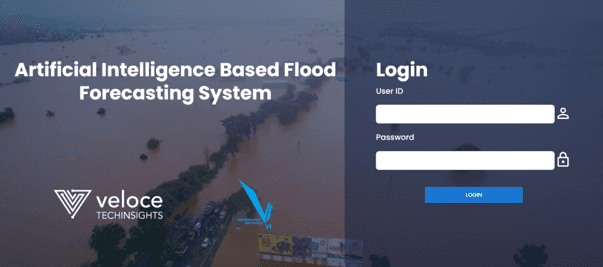
In order to deliver precise flood forecasts and prompt alerts, Velodynamics created an AI-enabled Flood Forecasting & Early Warning System that integrates Internet of Things (IoT) sensors, Automatic Weather Stations (AWS), river water level monitoring, rainfall data, hydrological models, and GIS-based analytics. In order to facilitate proactive decision-making and effective emergency response, the platform provides disaster management authorities with real-time monitoring, predictive forecasts, and automated notifications.
Functionalities

Real-Time Water Level Monitoring
Continuous monitoring of rivers, dams, reservoirs, and streams
Rainfall Monitoring
Live rainfall data collection through Automatic Weather Stations (AWS) and rain gauges.
AI-Based Flood Prediction
Predicts flood events 24–72 hours in advance using AI and hydrological models.
Early Warning Alerts
Instant SMS, email, mobile app, and siren notifications to authorities and citizens.
GIS-Based Flood Mapping
Interactive maps showing flood-prone areas, inundation zones, and evacuation routes.
Weather Data Integration
Integration with IMD and other meteorological data sources for accurate forecasting.
Dam & Reservoir Monitoring
Tracks water storage, inflow, outflow, and gate operations.
Risk Assessment Dashboard
Real-time visualization of flood severity, vulnerable locations, and affected populations.
IoT Sensor Integration
Supports water level sensors, flow meters, weather stations, and telemetry devices.
Decision Support System (DSS)
Provides actionable insights for disaster management authorities.
Tech Stack
Layer
Technology Stack
Frontend / Mobile
React
Backend
Python
Database
MongoDB
Cloud & Hosting
AWS
Notifications & Services
Firebase Cloud Messaging (Mobile Application) / MessageHUB / SignalR
Impact on Client
Enabled 24×7 real-time monitoring of river water levels, rainfall, and weather conditions.
Improved early warning capabilities with flood forecasts up to 24–72 hours in advance.
Accelerated decision-making through a centralized Command & Control Dashboard.
Enhanced coordination among the District Disaster Management Authority (DDMA), Municipal Corporations, Irrigation Department, Revenue Department, Police, Fire & Emergency Services, and NDRF/SDRF.
Facilitated timely evacuation planning and optimal deployment of emergency resources.
Reduced response time through automated alerts and notifications.
Supported data-driven planning using historical trends and predictive analytics.
Testimonials
"In disaster management, time is our most critical asset. Deploying this automated flood management system in Kolhapur has fundamentally enhanced our emergency response capabilities. By giving us reliable early warnings 48 hours before peak flooding, the system provides a crucial window to mobilize response teams and safely evacuate citizens from high-risk zones. It has transformed how we manage monsoon crises, turning reactive emergency measures into proactive, life-saving strategies."
Prasad Sankpal
District Disaster Management Officer
ZP
July 2023